
Atlases of the Sacramento River
A variety of map atlases have been created for Sacramento River over the last decades. They were produced by State and Federal agencies for environmental planning, assessments, land-use mapping, surveying, public reference, ownership, etc. Much of this need is now met through Geographic Information Systems, which was often used in the production of these atlases.
* Note that some of these atlases can be acquired at higher resolution.
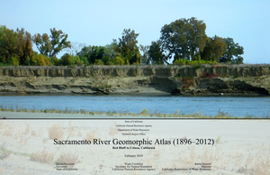
The Sacramento River Geomorphic Atlas (1896-2012) (SRGA) documents the geomorphology of the middle reach of the Sacramento River from Red Bluff to Colusa, California, shown in Figure 1. The SRGA was created using a combination of geologic maps, U.S. Geological Survey (USGS) topographic maps, U.S. Department of Agriculture (USDA) and National Agriculture Imagery Program (NAIP) imagery, light detection and ranging (LiDAR) data, other aerial imagery, historical data, and fieldwork performed by California Department of Water Resources (DWR) staff.
The data are presented in a series of maps and imagery showing Pre-Shasta Dam Meanders (Series A), Post-Shasta Dam Meanders (Series B), All Meanders (Series C), Geology (Series D), DEM/LiDAR (Series E), Bank Erosion Characterization (Series F), and Pre- and Post-Shasta Dam Bank Erosion survey sites (Series G).
 (PDF - size: 288.4 MB)
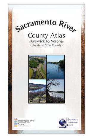 (PDF - size: 6.3 MB)
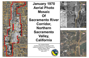 (PDF - size: 147.9 MB)
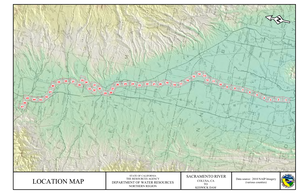 (PDF - size: 9.5 MB)
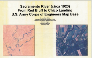 (PDF - size: 15.1 MB)
 (PDF - size: 29.9 MB)
 (PDF - size: 35.9 MB)
 (PDF - size: 28.8 MB)
 (PDF - size: 18.9 MB)
 (PDF - size: 19.6 MB)
 (PDF - size: 74.8 MB)
 (PDF - size: 22.4 MB)
 (PDF - size: 3.7 MB)
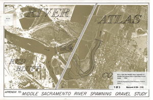 (PDF - size: 21.1 MB)
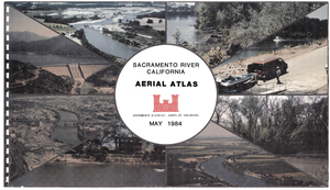 (PDF - size: 21.3 MB)
 (PDF - size: 21.1 MB)
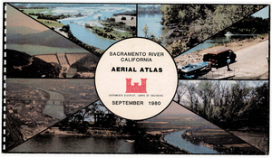 (PDF - size: 89 MB)
 (PDF - size: 92.7 MB)
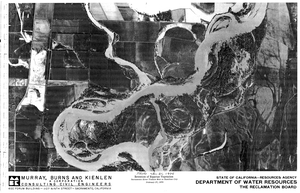 (PDF - size: 68.8 MB)
 (PDF - size: 24.2 MB)