
Photo Gallery - Sacramento River
A collection of photographs related to the Sacramento River. Other sources of photography for the river include:
- Map Interface to the Gallery
- Sacramento River NWR - Sacramento River Gallery
- Photo Gallery: the Delta
- Flickr.com Sacramento River
Photo Details
Loading
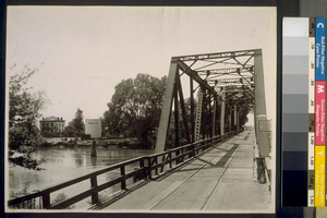
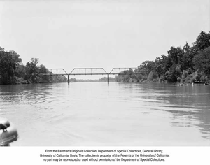
Railroad and wagon bridge, across Sacramento River, Knights Landing
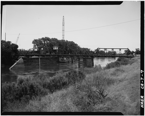
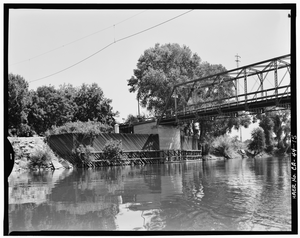
Standing on the south levee bank west of the bridge looking northeasterly showing an overall bridge view. - Colusa Bridge, Spanning Sacramento River, Colusa, Colusa County, CA
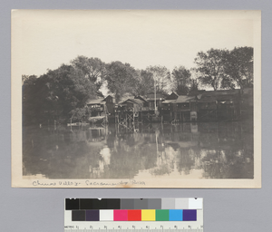
Chinese village, Sacramento River
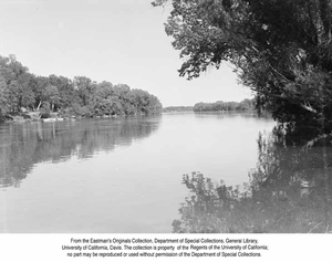
River frontage at Knights Landing
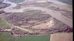
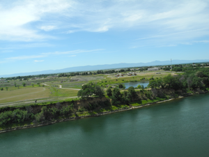
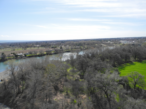
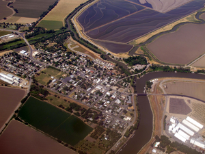
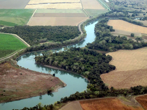
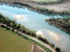
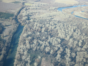
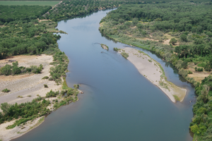
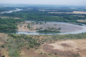
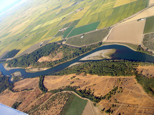
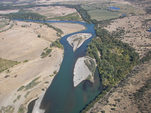
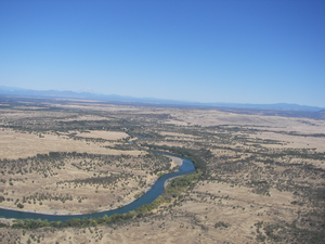
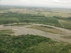
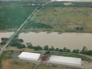
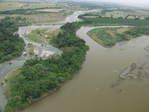
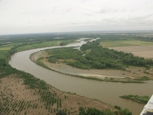
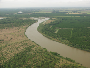
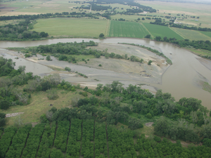
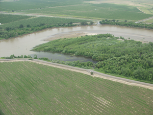
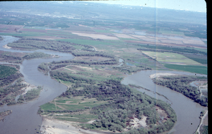
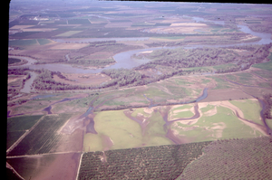
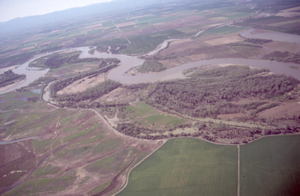
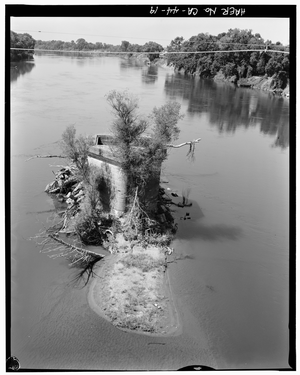
Phelan Island aerial 1
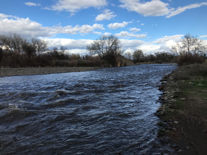
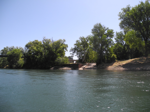
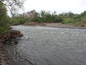
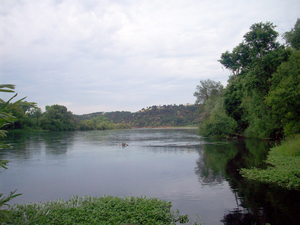
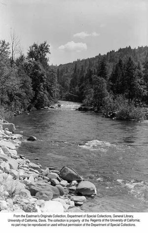
Upstream view of Mill Creek near it's mouth
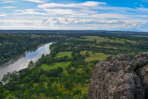
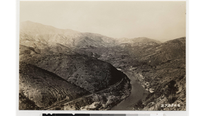
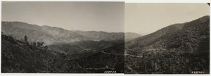
Jed's Overlook - Iron Canyon VII
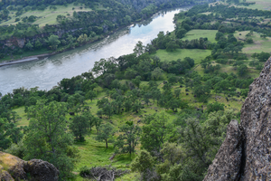
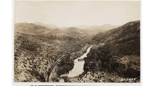
Jed's Overlook - Iron Canyon VI
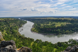
Jed's Overlook - Iron Canyon V
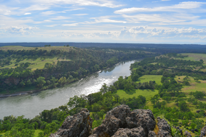
Jed's Overlook - Iron Canyon IV
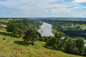
Jed's Overlook - Iron Canyon III
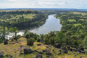
Jed's Overlook - Iron Canyon II
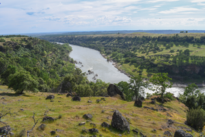
Jed's Overlook - Iron Canyon I
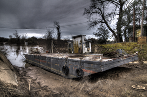
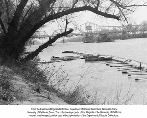
Princeton Ferry in 2017
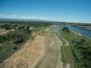
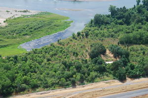
USBR Restoration Site at south end of East Sand Slough
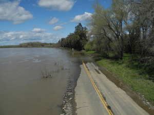
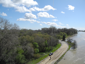
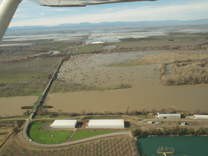
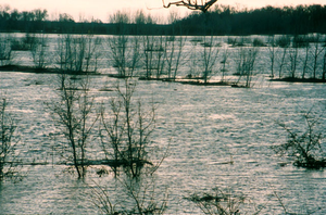
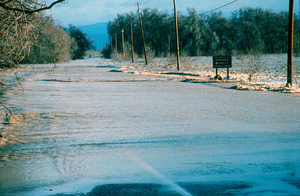
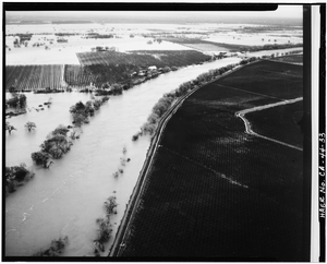
River Road under water during a rainy March
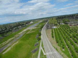
East Sand Slough, Interstate 5, and Sale Lane, Red Bluff
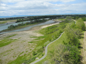
Southern end of East Sand Slough and USBR mitigation site
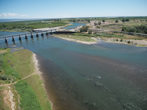
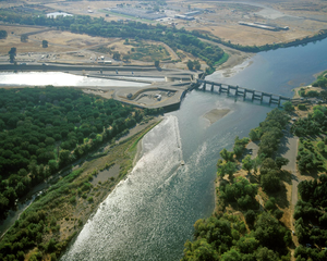
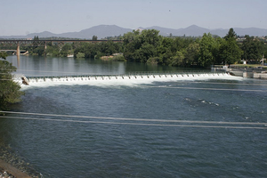
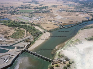
Red Bluff Diversion Dam and Tehama-Colusa Canal and Sacramento River
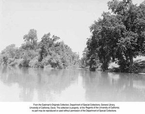
Riparian vegetation in winter along Big Chico Creek
River road, riparian vegetation, and the Sacramento River
Bend Bridge Park and Boat Ramp - from the water

Aerial view of southern end of East Sand Slough near the Red Bluff Diversion Dam Recreation Area

Above the Carquinez Bridge, I-80, Sacramento River, Contra Costa and Solano Counties, California
Fish screen at the Tehama-Colusa Canal intake
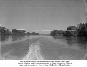
Sacramento River 6:52 am 7-17-14
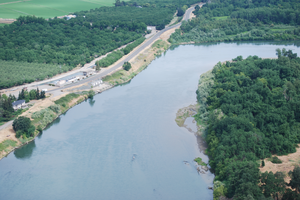
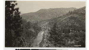
West Bank of the Sacramento River at Rivermile 223.5
Deer Creek flowing after some needed rain
Lower Mill Creek after some needed rain
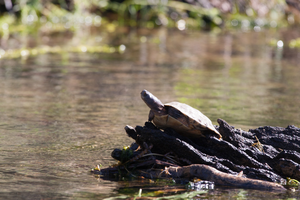
Western Pond Turtle basking
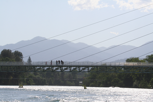
Looking at the river from the Sundial Bridge at Turtle Bay Exploration Park
Gravel bar along Cottonwood Creek
Canada Geese heading upstream
Mouth of Dibble Creek, Red Bluff
Riparian forest upriver from Dog Island/Ayers Park, Red Bluff
Riparian forest south of Dibble Creek in Red Bluff

Riparian forest accross from East Sand Slough in Red Bluff
A view from Rio Street in Red Bluff
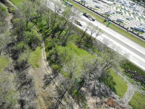
East Sand Slough and I5 from a kite
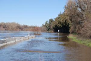
River Road under water - 2
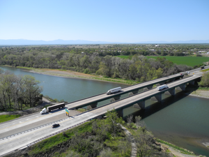
Aerial view of the northern Interstate 5 bridge in Red Bluff
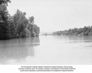
Knights Landing
A view of the east bank of the river near Dibble Creek
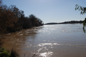
Muddy waters after some December rain
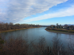
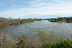
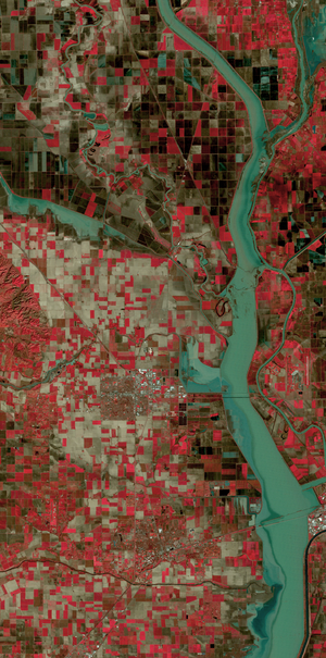
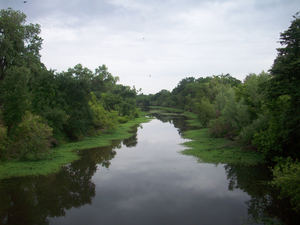
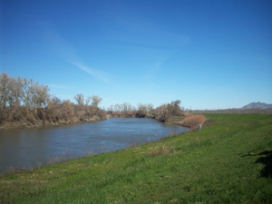
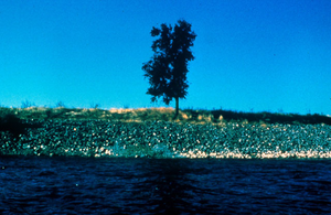
Sacramento River, Yolo and Sutter counties, California
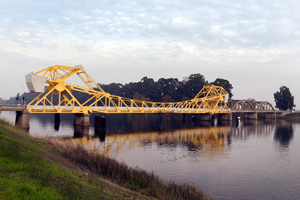
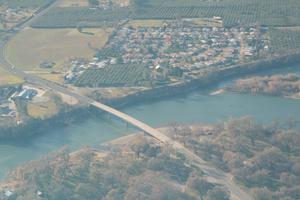
Walnut Grove Bridge over the Sacramento River in Walnut Grove, California
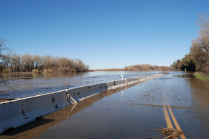
River Road under water
Feather River, Sutter County, California
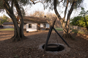
An outdoor cooking and boiling site at the adobe home of William Ide at the William B. Ide Adobe State Historic Park in Red Bluff, California
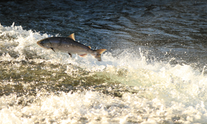
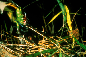
Spring Run Chinook on the fish ladder at Parrot-Phelan Dam on Butte Creek
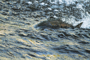
Spring Run Chinook near the fish ladder at Parrot-Phelan Dam on Butte Creek
Iron Canyon Loop at the Sacramento River in Red Bluff, CA
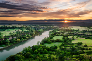
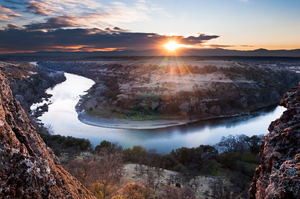
Sacramento River (Dreaming in Vertical)

A view from River Road near the Washout
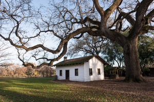
The adobe home of William Ide at the William B. Ide Adobe State Historic Park in Red Bluff, California
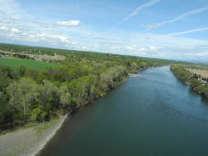
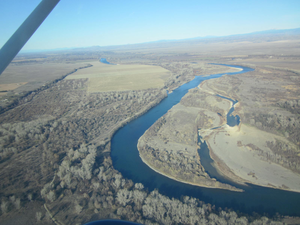
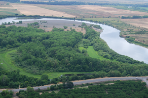
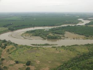
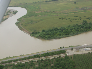
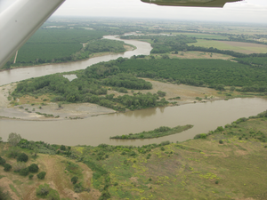
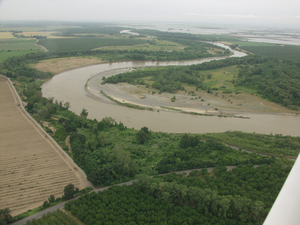
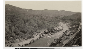
Fourmile Bend, Sacramento River
Spring Run Chinook just past Parrot-Phelan Dam on Butte Creek
A view from Rio Street in Red Bluff II
Bend Bridge - oblique aerial
Sacramento River by boat, near River Mile 192.5
Sacramento River - At the bottom of the Sutter Bypass, Yolo and Sutter counties, California
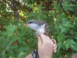
A banded Yellow-billed Cuckoo
Pallisades near Kopta Slough
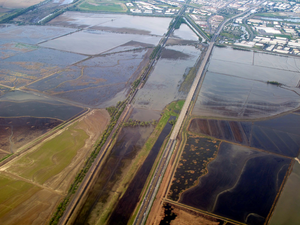
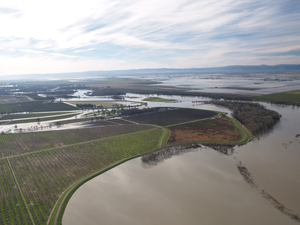
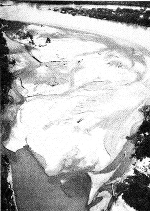
Flooded Yolo Bypass
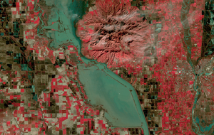
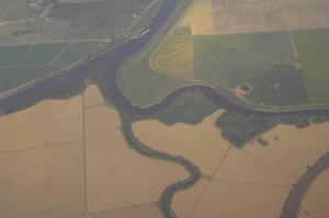
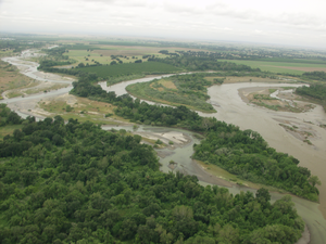
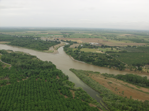
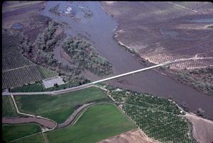
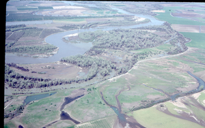
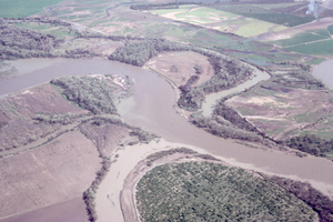
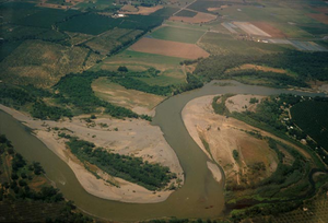
Confluence of the Sacramento and Feather rivers
Arramayo Way Bridge from the east bank, river stage at 212.4 feet
Butte City Launch Facility
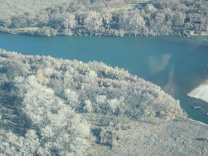
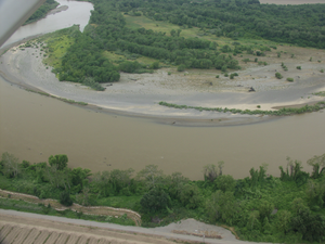
Kopta Slough - oblique aerial
Kopta Slough - Oblique aerial near river mile 219
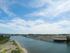
South Avenue Bridge

Paynes Creek confluence with the Sacramento River
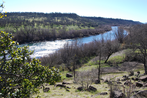
Sacramento River from the Yana Trail
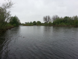
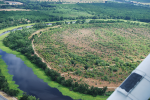
Exploring an oxbow
Downtown Sacramento, California
Iron Moutain Trail overlooking the Sacramento River near Red Bluff, CA

The Sacramento River near the town of Proberta
China Rapids - oblique aerial
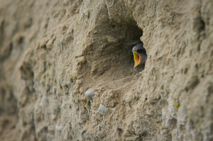
Bank Swallow chick calling
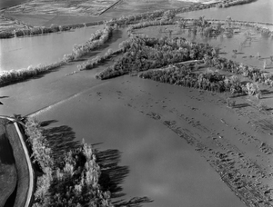
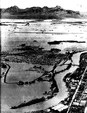
1997 flood, Sutter and Yolo Bypasses
1997 flood, Butte and Sutter Basins
Riparian forest at Samual Ayer/Dog Island Park
Red Bluff Diversion Dam aerial photograph

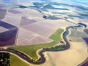
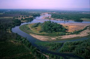
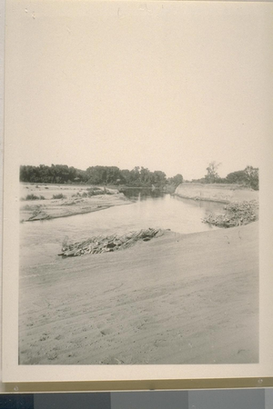
Floodplain topography on the Sacramento River
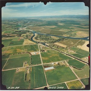
Anderson Cottonwood Irrigation District (ACID) Dam
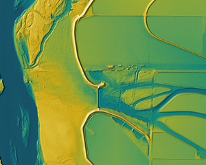
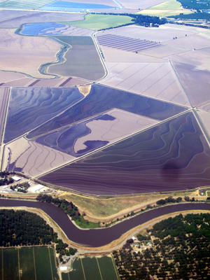
Moulton Weir Lidar image

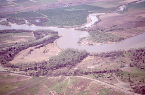
Confluence of Dibble Creek and the Sacramento River

Sunrise under Woodson Bridge - I
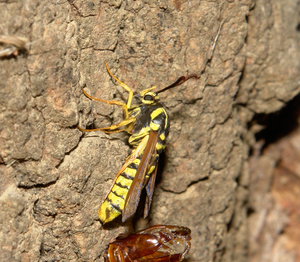
An American Hornet Moth (Sesia tibiale), newly emerged from a cottonwood
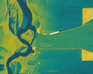
Colusa Weir Lidar image
Sacramento River by Ayers / Dog Island Park after a rain storm
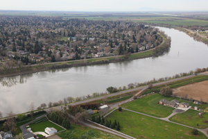
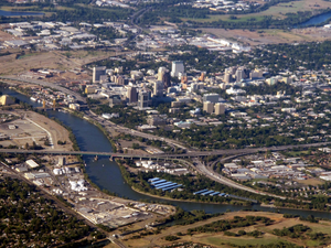
An aerial view of the Sacramento River in Sacramento, California
Sunrise under Woodson Bridge - II
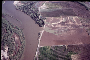
Colusa Basin Drain confluence with the Sacramento River
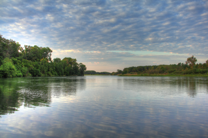
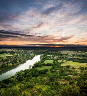
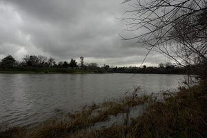
Sacramento River Gloom
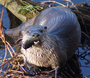
Northern River Otter
Aerial view of the Sacramento River near RM 196
Aerial view of Packer Lake and Packer Island - 1
Aerial view of the Sacramento River north of Pine Creek
Aerial view of mature riparian forest and oxbow lakes north of Sidds Landing
Anderson Creek Slough, Reading Island
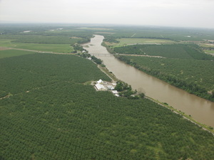
Aerial view of the PCGID-PID Pumping Plant, Sidds Landing, and riparian forest
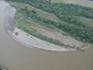
Aerial view of a large point bar near Sidds Landing
Confluence of Anderson Creek Slough with the Sacramento River
Aerial view of Packer Lake and Packer Island - 3
Aerial view of Packer Lake and Packer Island - 2
Aquatic weeds in Anderson Creek Slough along Reading Island
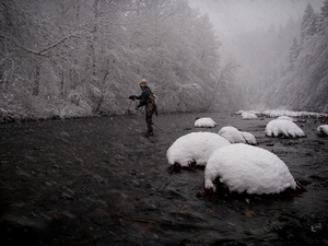
Wayne Eng, the Upper Sacramento River, and snow
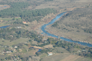
Sacramento River between Jacinto and Llano Seco
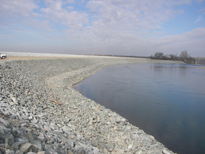
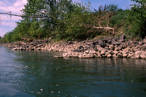
Riprap installed on the middle Sacramento River
Fishing along the Tisdale Weir
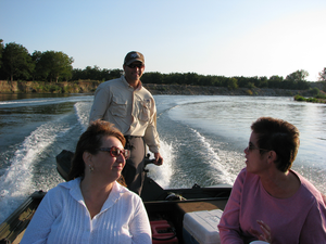
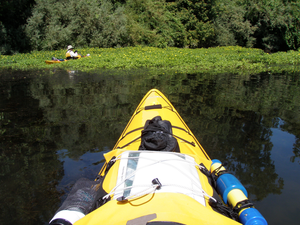
Cruising the Sacramento River with Henry
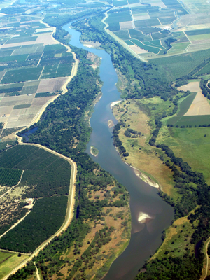
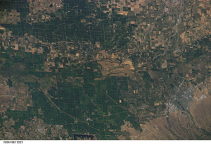
International Space Station photograph of the Sacramento River - B
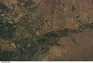
International Space Station photograph of the Sacramento River - A
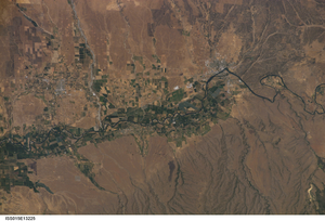
International Space Station photograph of the Sacramento River - C
Barge Hole Gravel Bar and the confluence of Battle Creek and the Sacramento River
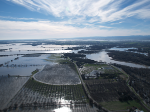
Colusa Bypass - Jan 2006 flooding
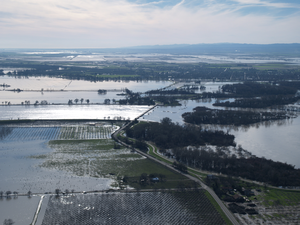
Colusa Bypass - Jan 2006 flooding II
Moulton Weir - Jan 2006 flooding
State Highway 162 Bridge - Jan 2006 flooding
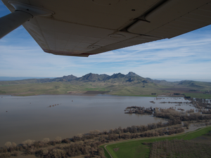
Sutter Butte - Butte Sink - Jan 2006 flooding
Moulton Weir from the air
Aerial photograph of Table Mountain and the Sacramento River
Point bar at River Mile 213
Mouth of Deer Creek
Tehama County River Park
Island near Copeland Bar II
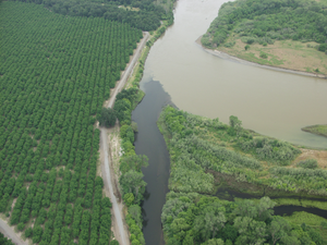
Orchard & Riparian Forest cross river from GCID Intake
PCGID-PID Pumping Plant, Flooded Rice Fields
Butte City bridge - aerial
Butte City bridge, rock groins - aerial
PCGID-PID Pumping Plant & Llano Seco Riparian Sanctuary
Capay Unit, Big Chico Creek, and M&T Pumping facility
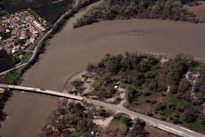
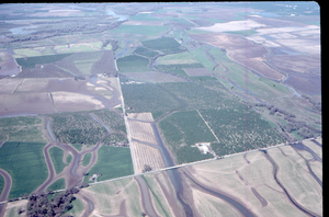
Pine Creek North, Pine Creek West, and orchards at river mile 197
Confluence of Thomes & McClure creeks and the Sacramento River
Thomes & McClure creeks confluence II
Sacramento Rive mile 224
Blethen Island
Sandbar at river mile 222
Sandbar at river mile 222 II
Side Channel at River Mile 222 II
An Island near Copeland Bar
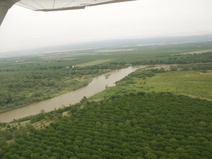
River Mile 216
Point bar at River Mile 213 II
Riparian Forest south of Foster Island

Island at river mile 211
Foster Island
Lower Foster Island

Tip of Snaden Island
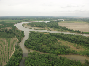
River mile 183
Parrott Landing at river mile 183
Walnut orchards south of Ginanella Bridge
Levee, Orchard, & Riparian scrub colonizing point bar at river mile 201
Slough accross from GCID
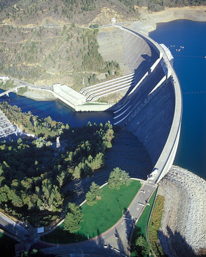
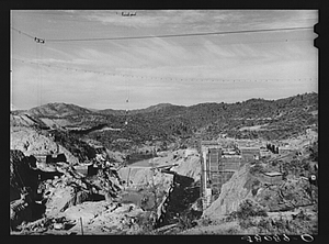
Aerial view of Shasta Dam
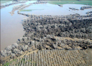
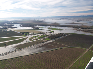
Flooding of the Boggs Bend Area on February 18 2004
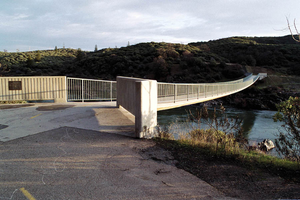
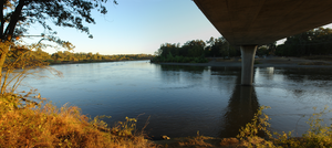
Sacramento River Trail Bridge
Riprap with overhanging riparian habitat
The mouth of Antelope Creek near river mile 234
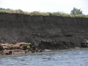
Tree roots exposed as bank erosion threatens an orchard
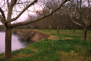
Bank erosion threatening a walnut orchard
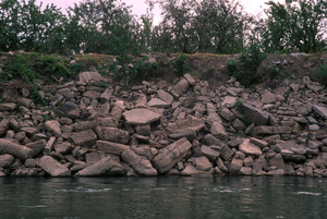
Owner-installed riprap using concrete rubble
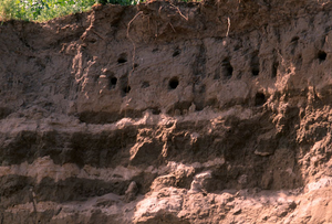
Bank Swallow colony at River Mile 193
Aerial photograph of riparian habitat on the Sacramento River
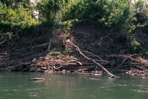
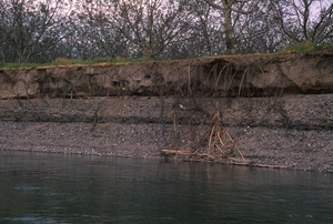
Woody debris falling into river due to bank erosion
Egret rookery in a mature riparian forest
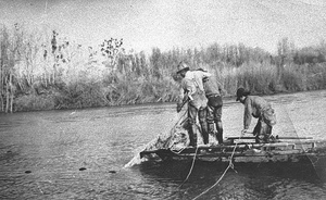
Fishermen in a boat near sandbar
Fishermen from Flynn
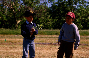
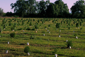
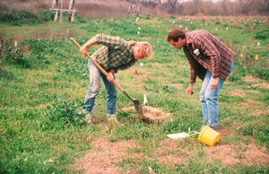
Hamilton Elementary School Students Preparing to Plant
Hamilton Elementary School Students Planting
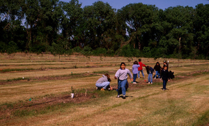
Student Group helping TNC Restoration Project at Stoney Creek
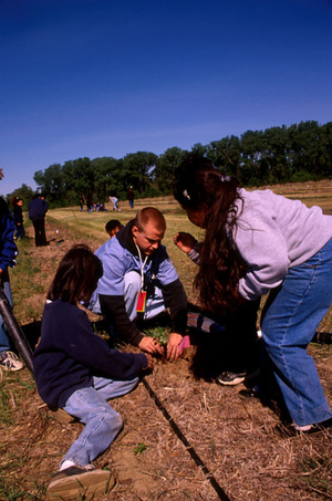
Student Group helping TNC Restoration project at Stoney Creek
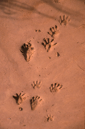
Racoon tracks along a sandy bank
Heavy riprap with sole tree remaining

Areal photograph of a meander along the Sacramento River near the Mooney Unit
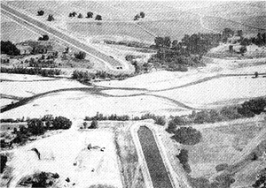
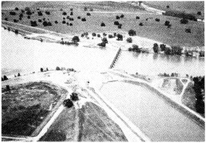
Aerial photograph of Ord Ferry Road bridge during flood stage in 1997
Aerial photograph of Road 29 washout in 1997
Aerial photograph of Woodson Bridge in 1997
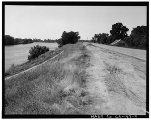
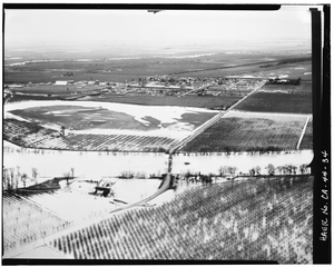
9. View of River Levee North of Riego Road, Sacramento River on Left, Facing North-Northwest. - Reclamation District 1000, Northwest Sacramento County & southwest Sutter County, bisected by State Highway No. 99, Sacramento, Sacramento County, CA
One year old oak restoration site at the River Vista Unit
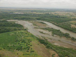
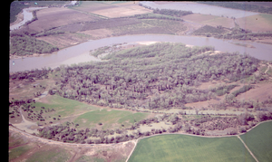
Golden State Island and Phelan Island
Riparian Habitat under Sacramento River high water
Mouth of Stony Creek - Murphey Slough near Monroeville Bend
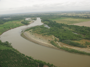
Phelan Island aerial 2
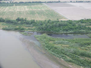
Valley Oak riparian forest on Phelan Island
Golden State Island and Stony Creek
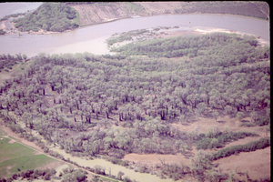
Golden State Island
Remnant swales convey water north of Llano Seco
Golden State Island and Stony Creek
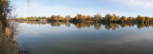
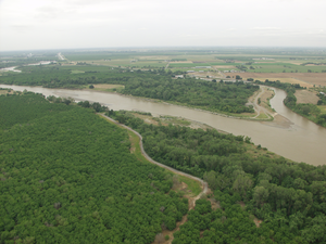
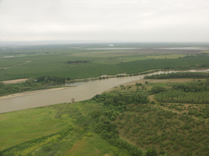
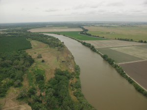
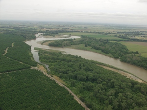
Sacramento River, river miles 187 to 191
Woodson Bridge flooded by Sacramento River
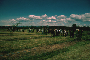
CSU, Chico Students Planting at a restoration site on Stoney Creek
Oblique Aerial Photograph of the GCID Dam, 1988
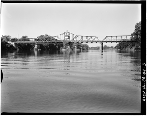
View to Southest. Detail, East Abutment and Fender. (Photographed from boat) - Gianella Bridge, Spanning Sacramento River at State Highway 32, Hamilton City, Glenn County, CA
View to Northwest. Dolphin as Seen From Control Cabin Deck. - Gianella Bridge, Spanning Sacramento River at State Highway 32, Hamilton City, Glenn County, CA
3. View to West-Northwest. Downstream Side of Bridge From East of Center of River. (Photographed from boat) - Gianella Bridge, Spanning Sacramento River at State Highway 32, Hamilton City, Glenn County, CA
Thomes Creek Diversion
Red Bluff Diversion Dam - aerial
Large Alluvial Deposit Below Red Bluff
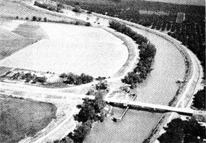
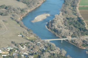
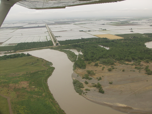
Aerial photo of River Road Bridge in Colusa
View to Southeast. Aerial View of Area During Flood Stage. Gianella Bridge At Upper Right Spanning Sacramento River at State Highway 32, Hamilton City, Glenn County, CA

View To Southeast. Aerial View of Area During Flood Stage. Gianella Bridge at Upper Right. Photographer unknown, January 24, 1970 - Gianella Bridge, Spanning Sacramento River at State Highway 32, Hamilton City, Glenn County, CA
View To Southwest. Aerial View Of Area During Flood Stage, Looking Along Centerline Of Gianella Bridge, With Hamilton City, Glenn County, In The Background

Aerial view of area during Flood Stage, looking Along Centerline of Gianella Bridge, With Hamilton City, Glenn County, In The Background Photographer unknown, January 24, 1970 -
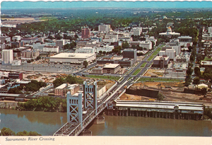
Sacramento River crossing coming into Sacramento from San Francisco with Sacramento in background - postcard
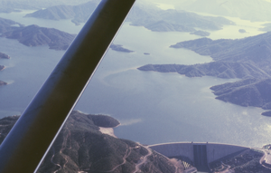
Shasta Lake at its highest level, July, 1965
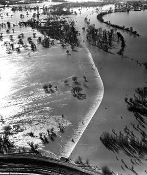
Fremont Weir overtop in 1958
Fremont Weir overtop in 1958(b)
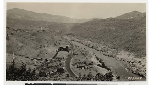
Sacramento River at Hamilton City, California
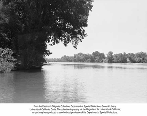
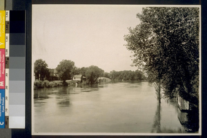
The Sacramento River, Calif. - Close-up of river with trees on either side and boat near far bank
Along The Sacramento River, California - Close-up of river with trees on either side
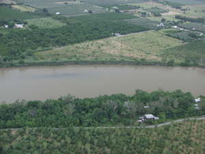
Sacramento River at Balls Ferry - II
Sacramento River at Balls Ferry
Boats at edge of river with bushes and trees on both sides
The Sacramento River near Corning, Calif.
On the Sacramento River, Castella, California
Overall View of Intake Pier and Access Bridge, Looking Northeast from Western Levee of the Sacramento River. - Sacramento River Water Treatment Plant Intake Pier & Access Bridge, Spanning Sacramento River approximately 175 feet west of eastern levee on river; roughly .5 mile downstream from confluence of Sacramento & American Rivers, Sacramento, Sacramento County, CA
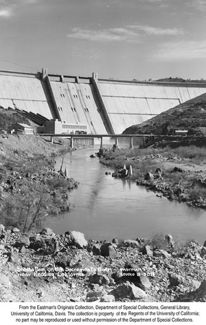
Shasta Dam on the Sacramento River near Redding, California
Shasta Dam, Shasta County, California. The two sides of the dam are fast bridging the gap through which the Sacramento River
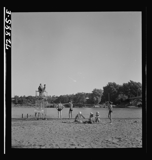
Redding, California. A free municipal beach on the Sacramento River
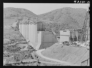
Shasta Dam, Shasta County, California. The two sides of the dam are fast bridging the gap through which the Sacramento River now flows
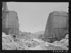
Shasta Dam, California. December, 1941-June, 1942. The dam and hydro-electric house under construction
Shasta County, California. Sacramento River
Sacramento River in Shasta County
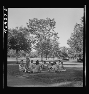
Redding, California. Girls picnicking at municipal park and beach on Sacramento River
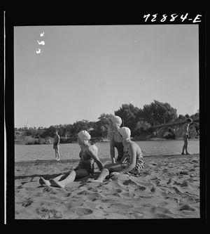
Redding, California. Young people on the beach of the Sacramento River
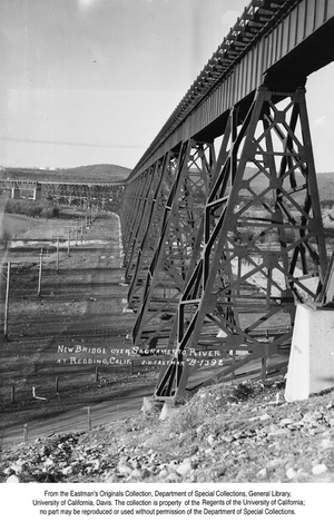
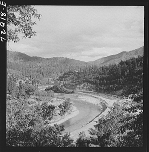
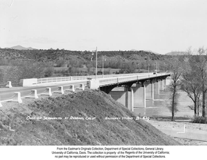
New Bridge over Sacramento River at Redding, California
Sutter Basin, Flood of February - March 1940
Some of the construction work immediately below Shasta Dam, on the Sacramento River. Shasta County, California
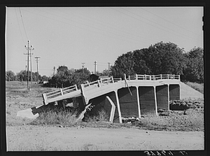
Bridge in Tehama County, California, which was washed out in recent flood of the Sacramento River. Shasta Dam will control a large amount of these flood waters.
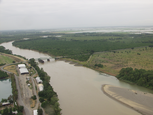
Sacramento River Bridge, Red Bluff, California
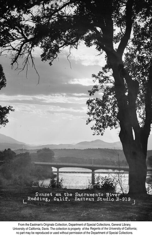
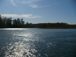
Sunset on the Sacramento River Redding, California
Bridge over the Sacramento River with automobile barely visible near far end
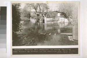
Hooverville residents don't appreciate the wading facilities made possible by seepage of the American and Sacramento Rivers
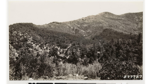
Stands of knobcone pine in chaparral type (Arctostaphylos viscida, Quercus garryana var breweri) N of Sacramento River
Looking N at smelter denuded area. Note ponderosa pine seedling 7 years old at right. Sacramento River below.
Looking NE up Sacramento River and O'Brien Creek. Chaparral areas of Quercus garryana var breweri and Arctostaphylos viscida. Note ponderosa pine and black oak remnants.
Views of Kah´ chil de´-he from Sacramento River
Should have shown Knobcone pine stand across Sacramento River but fails to. Taken near Shasta boundary
Panorama showing brushy hills near Kennett. Yellow pines on top of the ridge but scattered. Also shows smelter killed area across the Sacramento River
Looking east. Edge of non-killed area is below mine dump in upper left corner. Poison oak on banks of Sacramento River
Station of Mathew on S.P. lines. Sacramento River and smelter killed area stretching miles to the north. Note ore carrier going to the dump
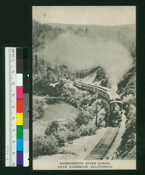
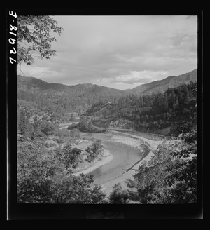
Sacramento River Canon, Near Dunsmuir, California - postcard
Shipping alfalfa from Rivergarden Farms along the Sacramento River
A USGS employee traversing the river at the Jelly's Ferry USGS stream gauge in 1911
Showing method of building Natoma's Levee on Sacramento River
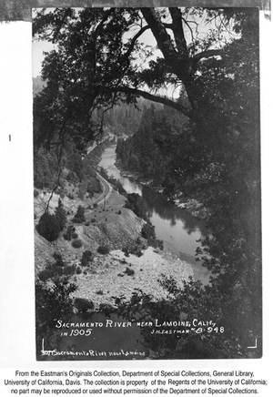
Sacramento River near Lamoine, California
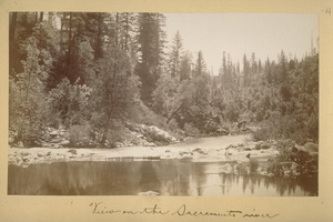
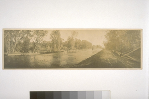
View on the Sacramento river - 1882
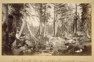
The North Fork of the Sacramento river (fishing in 1882)
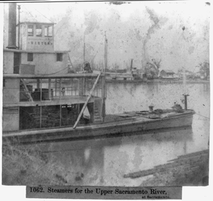
Steamers for the Upper Sacramento River, at Sacramento
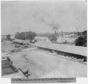
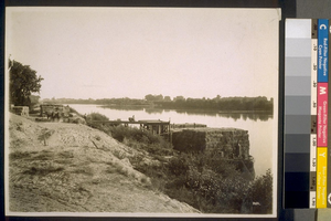
Sacramento River and Levee, from Front Street, Sacramento City
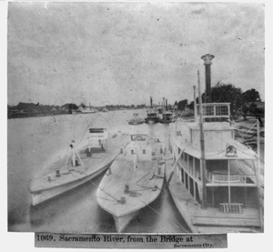
Sacramento River from the bridge at Sacramento City
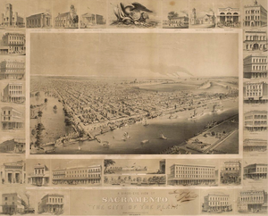
A birds-eye view of Sacramento: the city of the plain
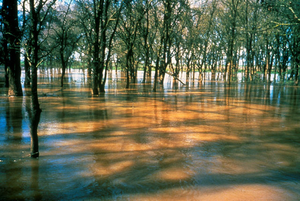
Riparian Habitat Flooded by Sacramento River
Bank Swallow Colony near Gerber
Nesting Yellow billed Cuckoo at the Kern River Preserve
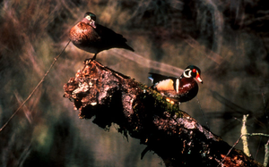
Wood ducks on branch near the river
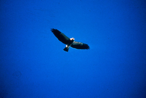
Swainson's Hawk soaring over the Sacramento River
A rendering of the Red Bluff Diversion Dam Fish Passage project
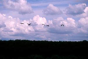
American White Pelicans flying along the Sacramento River

Ringtailed Cat on a stump
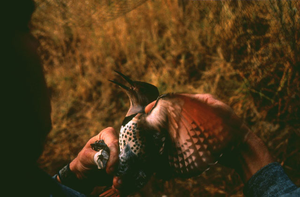
Banding a sapsucker along the river
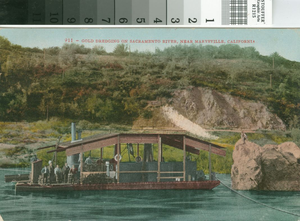
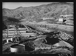
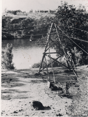
Gold Dredging on Sacramento River, near Marysville, California
Bud Bain and friends fishing near Princeton on the Sacramento River
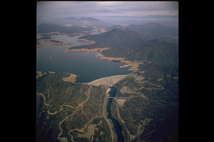
Shasta Dam and Lake during drought
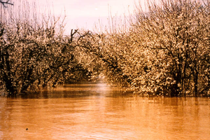
Flooded Orchard of Sacramento River at Stoney Creek
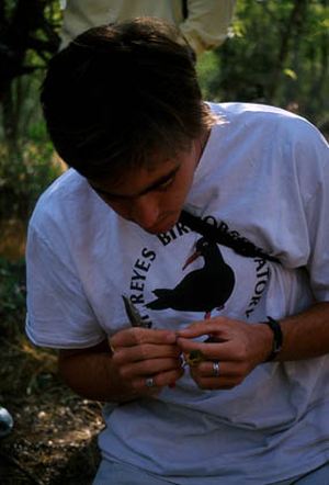
Bird Banding at the Point Reyes Bird Observatory
River bend at River mile 185, north of Ord Ferry Road